It has been a month since my last post, and more than six weeks since the charger on my computer failed. A lot has happened in that time, enough to fill a good-sized book, which someday it may.
 Over the next four weeks, I will bring you up-to-date on what has happened since Montréal, and draw lessons from the 10 weeks I spent accompanying Cheryl Sinclaire on a bicycle tour through Eastern Canada. I am still living and working on my bicycle, but much has changed about the way I travel. I am also traveling lighter than I ever expected possible.
Trip update: on Monday, 18 August, the rain stopped. We crossed the St. Lawrence

Looking back from the ferry at Quebec City
Seaway on a ferry to the town of Levis, and began riding through the Bas Saint Laurent region, towards the Gaspé Peninsula. For ten days, we were blessed with some of the most beautiful weather anyone has seen in North America this summer. We camped in municipal campgrounds such as the one at Rivière-Ouelle (which justifiably boasts of its sunsets), beautiful settings like the Parc National du Bic near Rimouski, RV parks like Matane, hostels like the Festive Sea Shack at Sainte Anne-des-Monts, as well as camping sauvage (wilderness camping) at Anse du Grifon, beneath lighthouses and on beaches.It took three days to ride up the St Lawrence Seaway to reach the Gaspsie.
Cheryl once wrote when we were arranging to meet that “the foraging is better in Québec.” She was absolutely right. It appears to be against the law to serve bad food in that province. No matter where we obtained our food, be it a humble grocery store in a fishing village or a five star restaurant in Montréal, it was all tasty, nutritious, natural, and reasonably priced. We ate seafood every day, reveling in the ready availability of inexpensive fish and shellfish that was as fresh as possible.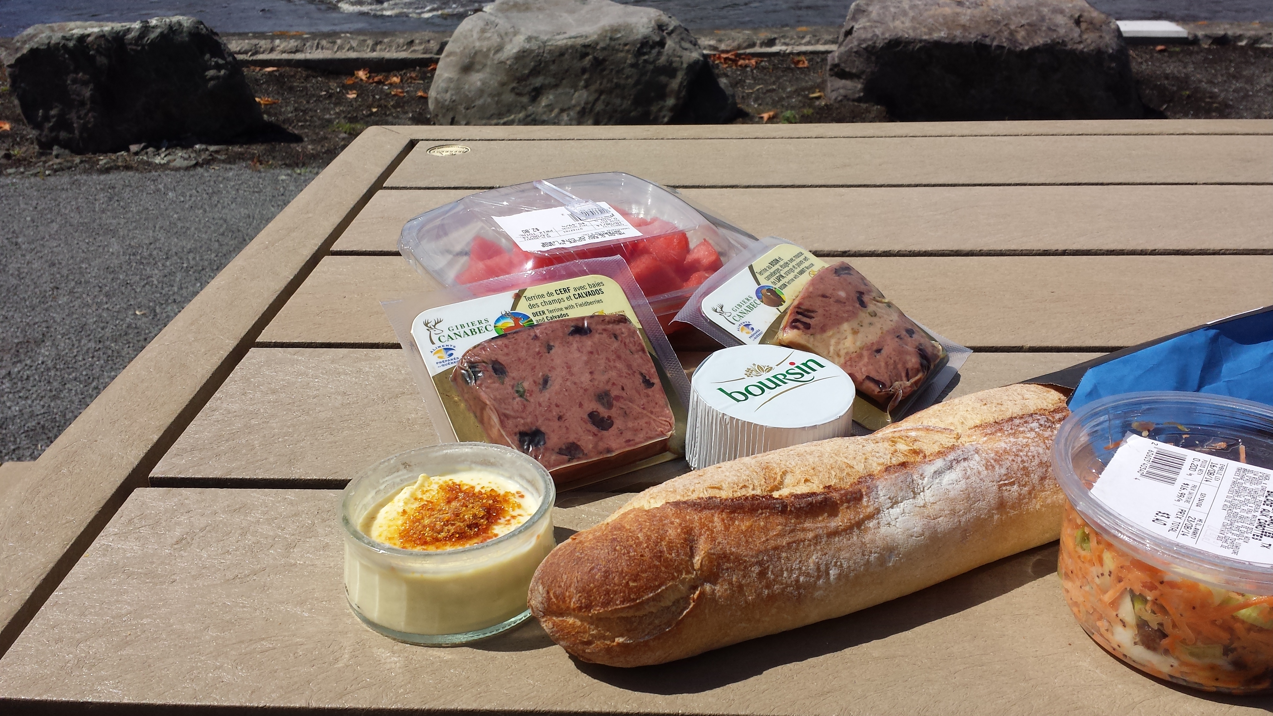
We followed the coastline all the way around, on Highway 132. The expressway (Provincial Route 20) ended at Rimourski, and the trucks that were not turning south joined us.  Logging is still alive and well in these parts, as evidenced by the many enormous logging trucks moving up and down the road.
  There were steep climbs up the cliff face, and plunging downhills, both exhausting and exhilarating.
 As a bicyclist, I never used to climb hills unless my destination was at the top. So I asked Cheryl why she liked climbing mountains. She said that she didn’t, but that “the top is where the best scenery is.” Right again: every climb was rewarded with a stunning view.

The lighthouse at Forillon
We learned that place-names can be deceiving. For example, Ste-Anne-des-Monts is actually four different towns. They are all part of the same locality (Ste-Anne-des-Monts), but their individual names appear on the map separately. On the town limit signs, these names appear in parentheses under the name of the larger city (e.g., Ste-Anne-des-Monts). Thus, we expected to find our hostel (Festive Sea Shack) in Ste-Ann-des-Monts, but when we arrived at sunset, we were surprised to find out that we had to ride another 18 km in the dark past Ste-Anne-des-Monts (Tourelle). After that, we noticed the convention for names in parentheses, and read the maps accordingly.

Ile Bonaventure off Perce
The winds were favourable as we headed east, but after we turned south at the Forillon National Park, we started encountering headwinds. We also struggled over the 12% grade over the ridge of the Forillon, where the highway was torn up by construction for more than 10 km.

near New Richmond
The south side of the Gaspé is very different from the northern side, with farms, and prosperous tourist destinations, summer homes, parks, and campgrounds. There were Anglophone settlements in places like Douglastown.
A recurring problem was the lack of communications. Cheryl had an all-Canada plan that did not deliver. She was without cell phone service all through the Gaspesie. I had my expensive, American no-plan, so I was staying off the air as much as possible. Even so, I had no contact with any cell towers until the last two days.

Cheryl is over there somewhere — in New Brunswick!
On our last day in Québec, the hard riding caught up with me, and I fell hopelessly behind. We entered Campbellton, New Brunswick, separately.. Cheryl got her signal back, and after a couple of hours, we met at the tourist information bureau.
That evening in the McKenzie House B&B, we looked ahead. It would take three days to cross New Brunswick’s north shore.  Cheryl planned to ride to Prince Edward Island, then Cape Breton Island, before taking the ferry to Newfoundland. The last ferry back from Argentia, Newfoundland, sailed on 13 September, and it was already the end of August. We needed to speed things up. Check in next week to see how we did that.

Great post! So good to have you back.
LikeLiked by 1 person