 The week after receiving my first dose of the Moderna vaccine against COVID-19, I rode to Chippokes Plantation State Park (see: https://freewheelingfreelancer.com/2021/03/20/breaking-out-2021-chippokes-plantation-state-park/). This was the first step of Breaking Out 2021, named for the spirit of freedom that vaccination promises us. I received my booster shot on 29 March and prepared to hit the road again. My first tour would be a short spin around Virginia, while interstate and international border regulations remain uncertain.
 My plan was to ride the fabled highway, US-58, across the southern edge of Virginia, to the Cumberland Gap. This highway played a major role in the history of the Old Dominion, as the British colonists pushed westward to the Appalachian Mountains. At first, treaties with the indigenous peoples kept the colonists bottled up east of the Alleghenies. After the American Revolution dissolved those commitments, European-Americans by the thousands pour through the Cumberland Gap in search of land. For an interesting read about the history and unique geology of this V-shaped cut, click here: https://en.wikipedia.org/wiki/Cumberland_Gap.
Over time, US-58 has carried colonists, settlers, and soldiers of both sides of the Civil War. It took tobacco, then cotton, peanuts, finished textiles, and furniture to market. More recently, cotton has returned, whilst the textiles, furniture, tobacco, and peanuts moved into the pages of history. Looking back at the changes over my own brief lifetime, I am impressed by the resilience of the people who work in Southside Virginia.
Riding US-58 from one end to the other has stuck in my fancy for more than thirty years. It’s not a Michelin scenic drive. Southside Virginia is a blur out the window to the thousands of people riding north-south on Interstates 64, 95, 77, 81, and 85. Those concrete and asphalt rivers define the different regions between the cities of Portsmouth, Emporia, South Hill, South Boston, Danville, and Abingdon. I can understand why the Adventure Cycling Association and other touring/touristy organizations have never built a ride along the VA/NC border, why to this day there isn’t rail passenger service east-west, and why there are more prisons than parks. But I could satisfy my curiosity knowing that my son, Daniel, could drive out to retrieve me in a single day, even at the far end. I would be on another planet, but not in different galaxy. And so, on Saturday, 17 April 2021, I set out.
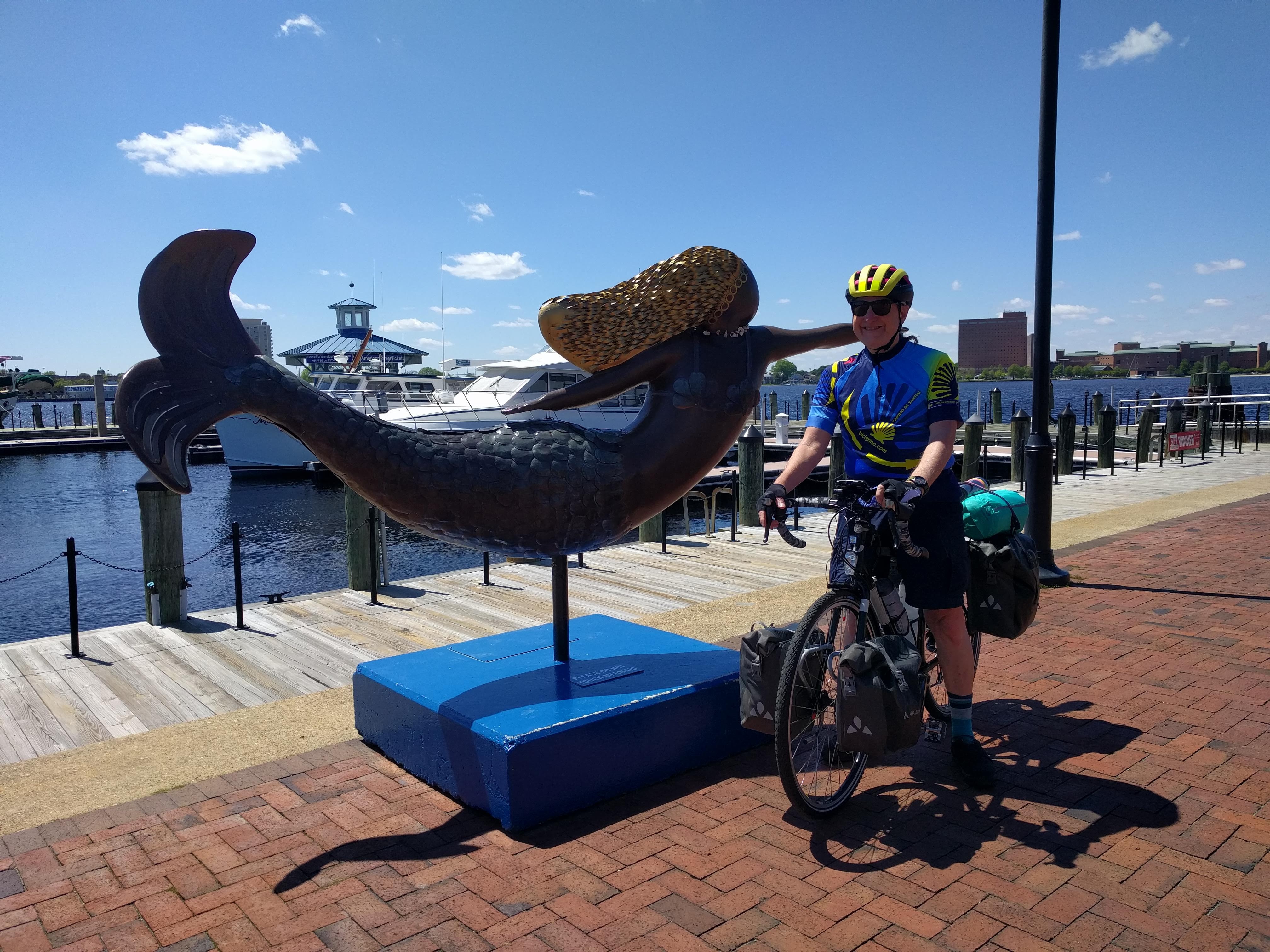
The first part of the ride was almost identical to the ride to Chippokes Plantation, except that the air was a little cooler. Suffolk lay halfway to my destination of Franklin, Virginia, so I stopped for lunch.
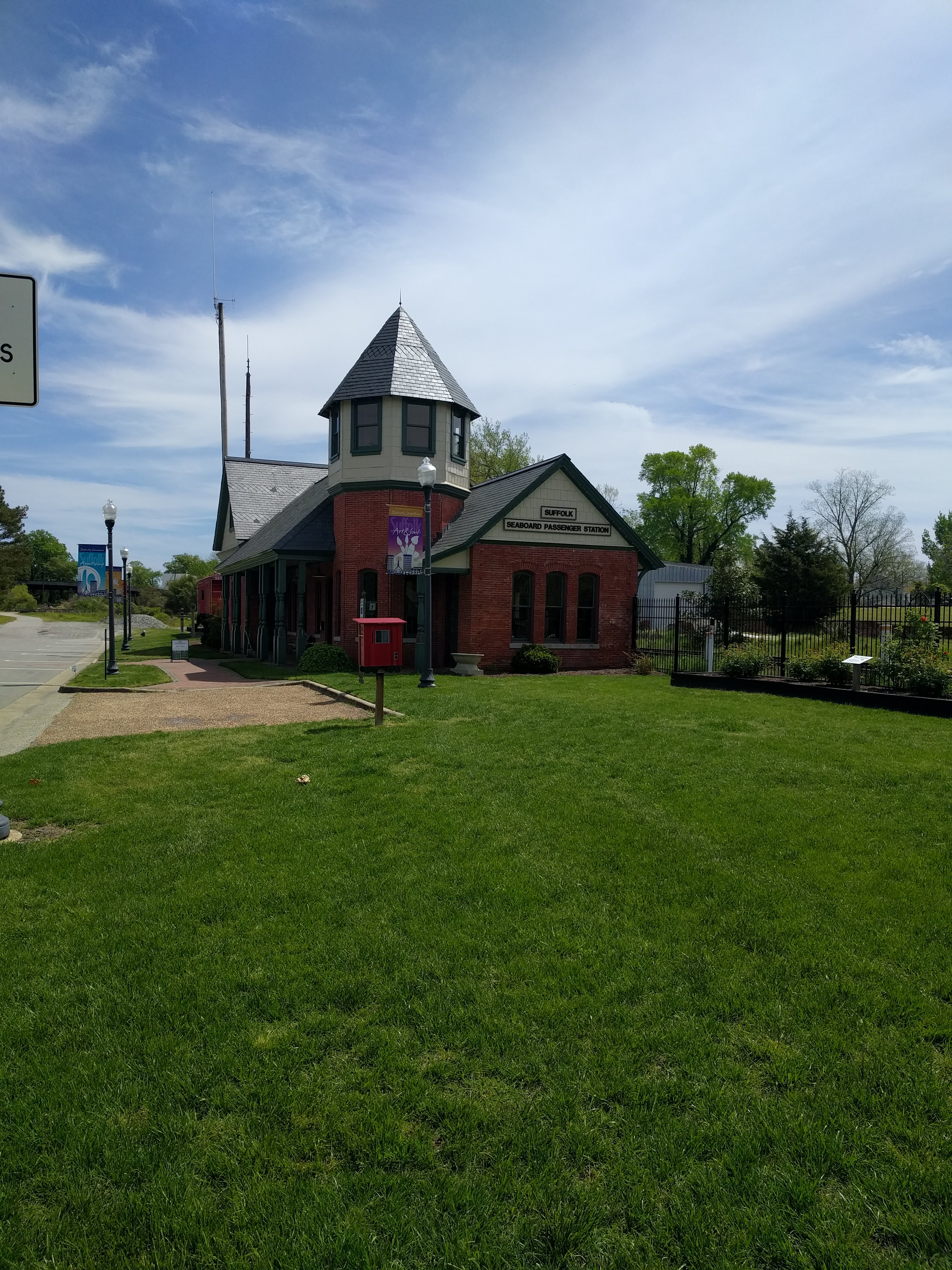 My recollection of Suffolk was endless peanut farms and a Mr. Peanut water tower over the town. All that was gone, with the fields yielding cotton and other crops, suburban developments sprouting up among the farms, and the downtown gentrified after what must have been a period of economic rusting.
I saw less retail downtown than I remembered, the locations taken over by non-profits, private and public agencies. Many of the buildings were new or recently renovated. I found lunch at the Plaid Tulip on Finney Avenue, recently moved into the cultural arts center at the Jefferson School. Blackened catfish, broccoli and collard greens: Southern cooking at its healthy best.
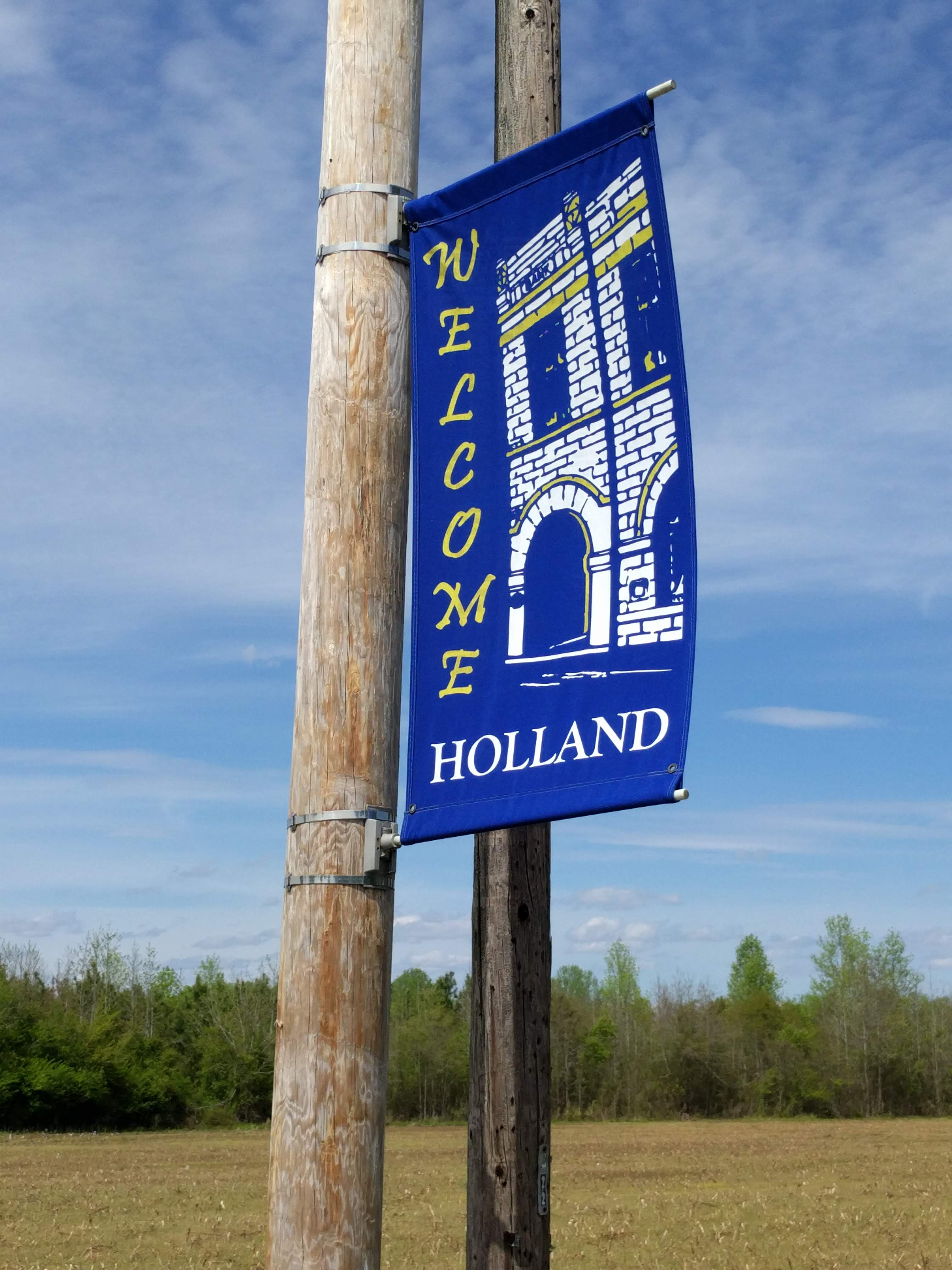 I expected the prevailing westerlies to provide a headwind all the way to the Tennessee border, so the relative calm in the morning was welcome. After lunch, the wind picked up. I rolled through Holland (just to record my desire to return to that country some day), Carrsville and into Franklin.
 The Camptown area (named for the family that established the Franklin paper mill in 1885) still boasts a massive paper mill and a sawmill across the street. While riding downwind of town, I was prepared for the distinctive smell, but time and the Clean Air Act have been working since I was here last. The mill now belongs to International Paper, and the massive scrubbers on the stacks keep the carcinogens and allergens out of the air. The sawdust from the sawmill gave off the odour of fresh-cut lumber, and not much of that.
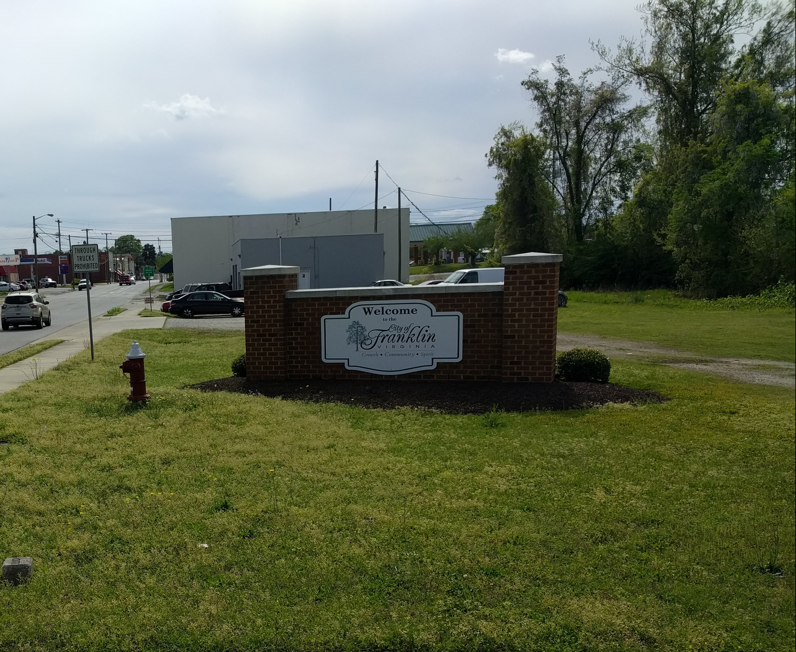
The city of Franklin boasts a retro, “Main Street USA” downtown. However, I saw only one of each type of retail establishment, probably because of what awaited me when I took Armory Drive on the far side of town.
Armory Drive after downtown Franklin features two kilometres of strip mall, ending with a half-dozen motels and a Walmart Supercenter at the cloverleaf where US-58 Business joins the long US-58 Bypass around the city. All the national and regional chains were represented, which may explain why the Airway Center east of town was completely empty, except for a new Behavioral Health Group treatment centre in the middle of the asphalt desert that was once the parking lot.
My average speed began to drop as I entered Franklin and crossed town. The headwinds were taking their toll as the trip odometer rolled over 70 km, and I parked outside the Quality Inn. I was glad that I planned to spend two nights in comfort before resuming the ride.
That night I discovered El Ranchero Authentic Mexican restaurant just behind the hotel. It was a welcome alternative to the national fast-food chains. I had Aztec-style fish (mahi) with a Pacifico beer. Aaah!
The next day being Sunday, I tuned into the Zoom Morning Prayer at Saint Paul’s Memorial in Charlottesville. In the afternoon, I put in four hours working on the novel Enemies, booked a room in South Hill, then packed up and went to bed early. I slept very soundly both nights.
Monday, the 19th of April, was very cool, cold even, and cloudy. The headwinds increased as the day wore on.
Courtland, the seat of Southampton County, sat about halfway to Emporia. After I crossed the Nottaway River south of town, the sky began spitting. Rumble strips appeared in the shoulders, forcing me into the travel lane for long stretches. The truck traffic was moderate, but each 18-wheeler left a wide band of spray in its wake. After a few miles, the rain became heavy enough for me to don my Arc’teryx rain jacket, which also shielded me from the cold wind and made the ride reasonably comfortable. The rain itself was not cold.
And so it went. With two lanes in each direction, and long sight lines, the trucks had no problem seeing me in plenty of time to pull over, so they actually passed me farther to the left than if I had been riding on the shoulder.
There seemed to be no commercial establishments between Franklin and Emporia. At last, ten kilometers from Courtland, I pulled into an Exxon station near Dreweryville, and took shelter by the gas pumps. One set of pumps was out of order, so I wasn’t blocking anyone. I had some trail mix and a hard-boiled egg while the rain lightened up.
The rest of the trip to Emporia was uneventful, and soon I was riding to the home of my Warmshowers hosts, John and Claudia Burnette.
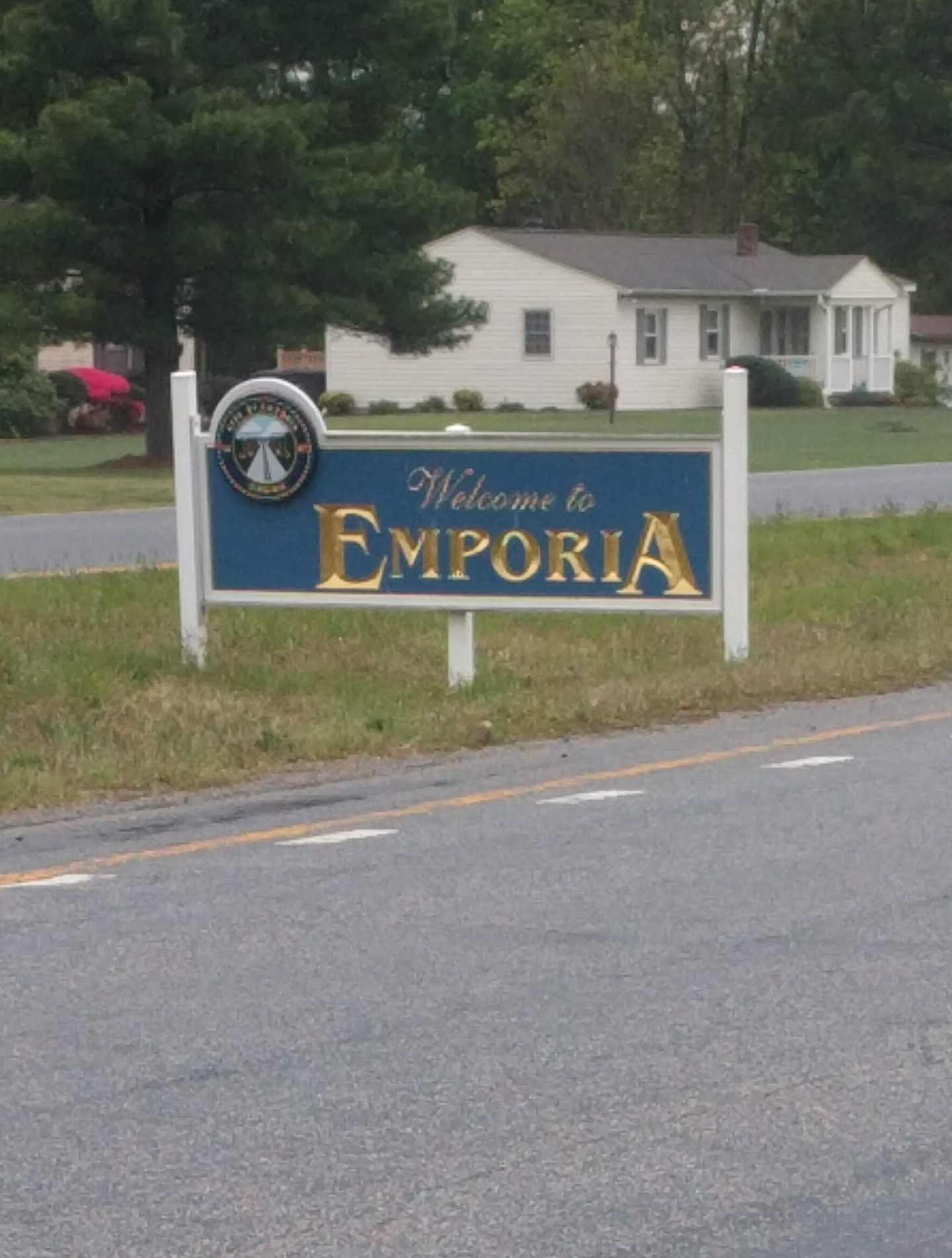 At the intersection of US-58 and I-95, Emporia has always been a center of commerce and a major logistics point. In the heyday of the railroads, vast switching yards defined the metro area, where north-south trains and east-west trains swapped rolling stock. The same thing happens with trucks today, hence the heavy truck traffic I had observed.
The Burnettes and I seemed to hit it off. We celebrated their anniversary at the El Ranchero in Emporia, and talked at home until after midnight. Between bicycles, teaching, and the Navy, we had many sea stories to swap.
 Tuesday the 20th promised sunshine and pleasant weather, and indeed it was a glorious day for a bike ride. Claudia, John and I chatted all morning, turning breakfast into brunch, until John had to go teach his next class (online), and I needed to hit the road. Refreshed, rested and restored (with my laundry done, too), I rode out to continue on US-58. Two blocks from their house, though, I stopped to check alternative routes and chose a Google route that was shorter and straighter than US-58.
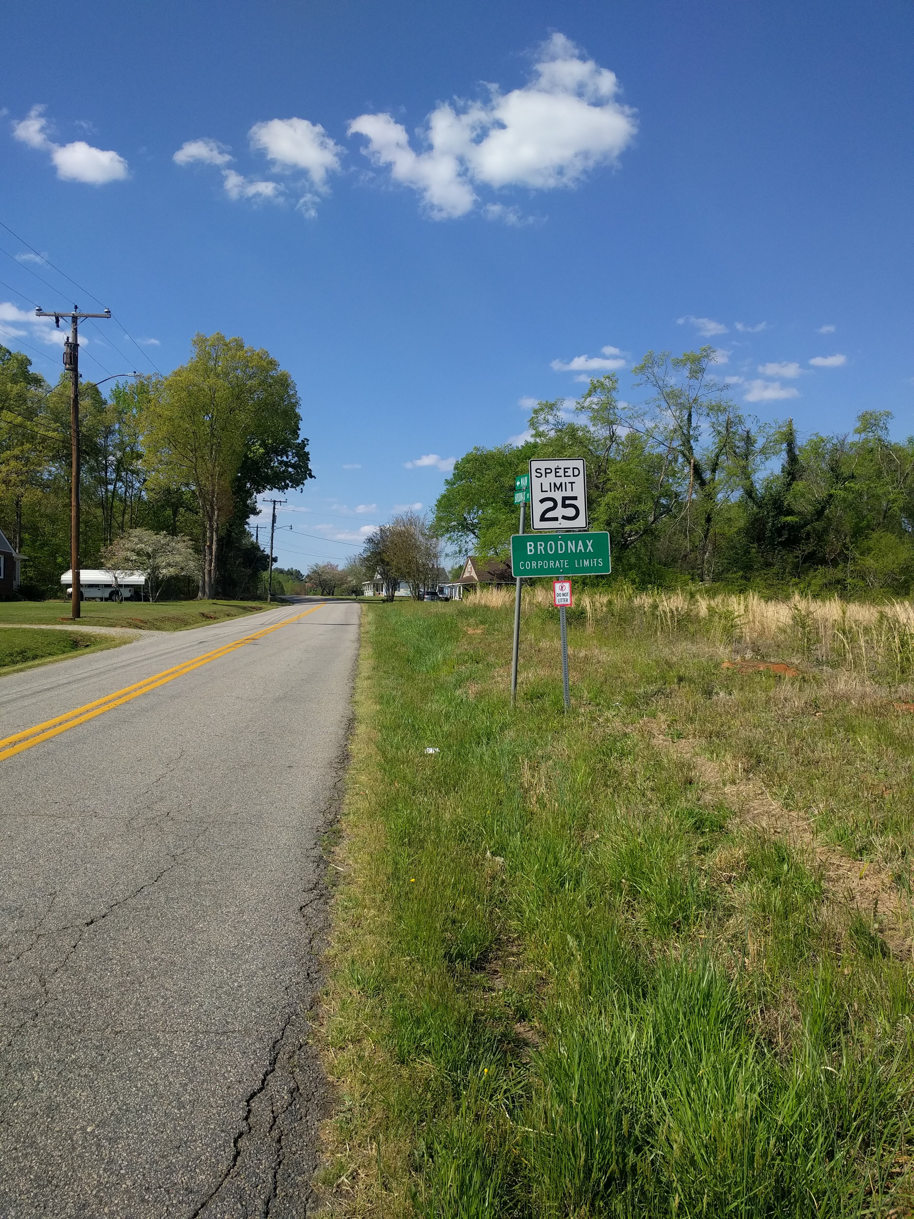
 I gave up visiting Lawrenceville, Virginia and the trucks for a four-hour roll through bucolic farmland with hardly another person or vehicle in sight. The steady west wind was not too strong, and the pavement was in pristine condition all the way from Emporia on Virginia routes 611 (Dry Bread Road) and 659 (Broadnax Road) to Broadnax, the last town on US-58 before South Hill. At Broadnax, Google suggested that I turn left just short of US-58 and I found myself on the Tobacco Heritage Trail, an asphalt bicycle path that ran 15 km to the interchange of I-85 and US-58 – and my hotel. What a treat! The trail was almost empty, smooth, level, and so quiet that I could often hear my tyres on the asphalt. A very pleasant way to end a very pleasant day.
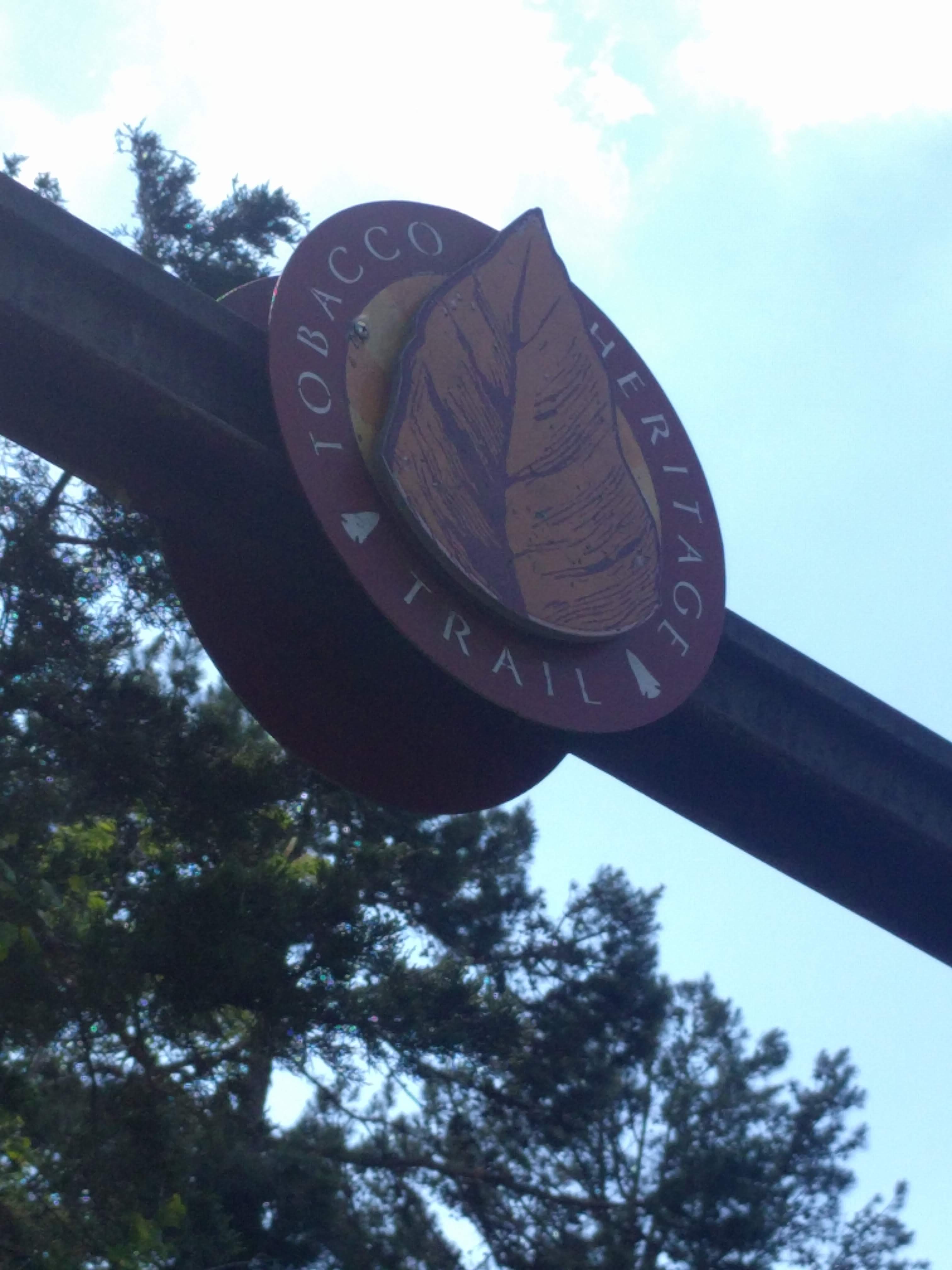 Anyone looking for a bike ride for its own sake could do worse than park at the trailhead of the Tobacco Heritage Trail in South Hill, not far from I-85, and roll out thirty kilometres of quiet among the trees and fields to Broadnax and back.
Another advantage of the rural route that I took was that I heard something I have never heard in North America before: friendly horn-tooting from motorists. I was used to that in Europe, but in North America, all I ever got were angry blasts from cars and trucks alike. It seemed that the folks in the area saw me as the first colorful bloom of the new cycle touring season. Spring puts people in a happy mood.
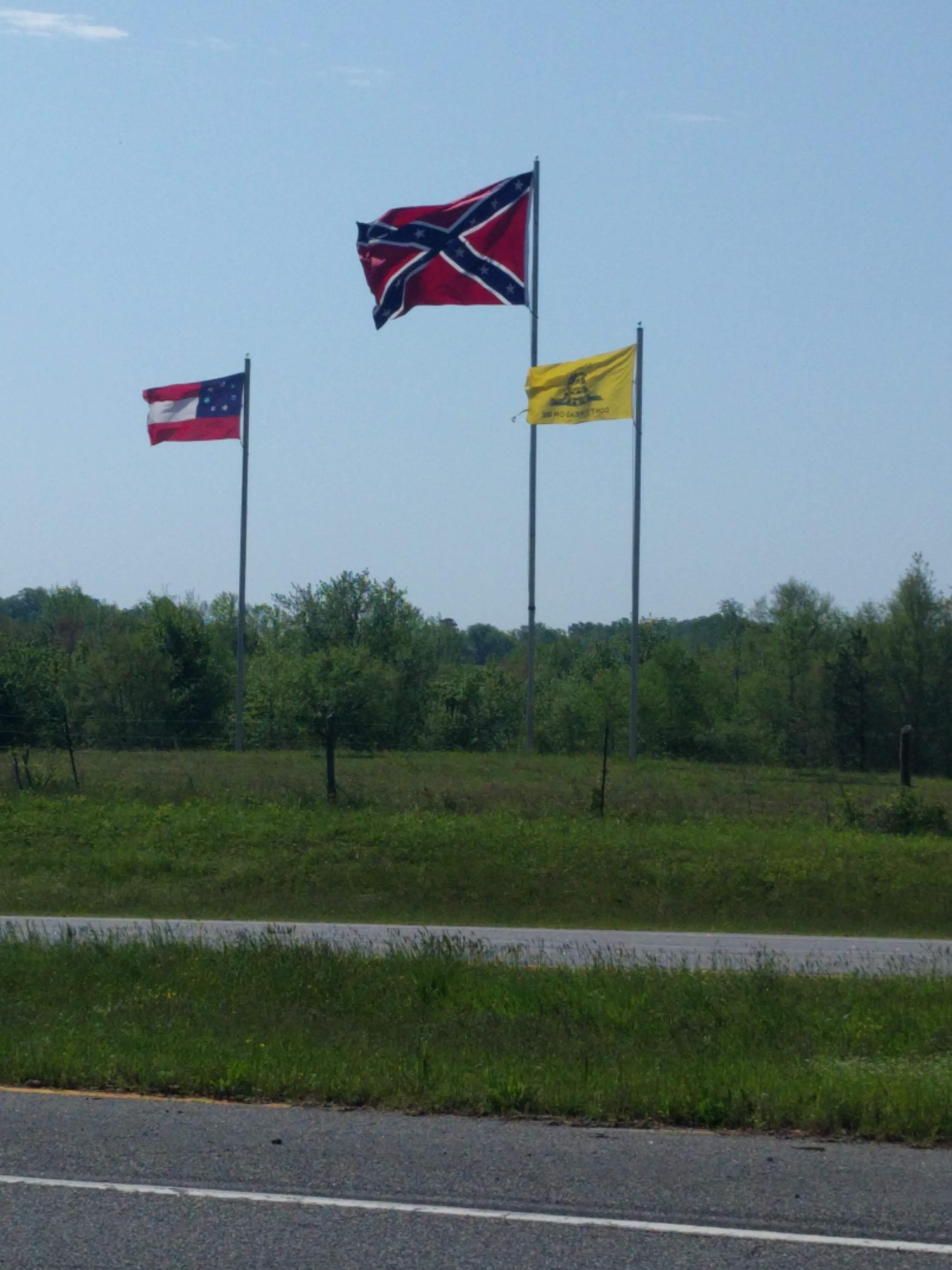 On the other hand, I had read about the rural South, and I wanted to experience it without getting so deep that I could not get out. This was a gentle way to view the part of rural Virginia that one reads about in the big-city newspapers. Never threatening to me personally, because I have the undeserved benefit of white privilege, but I am not blind. Here, there are unmasked people everywhere (only the BIPOC seem to mask up), including often everyone in the convenience stores. Trump banners still fly in the fields, and I counted ten sedans yesterday among the hundreds of trucks on the roads (all sizes, though mostly 18-wheelers).
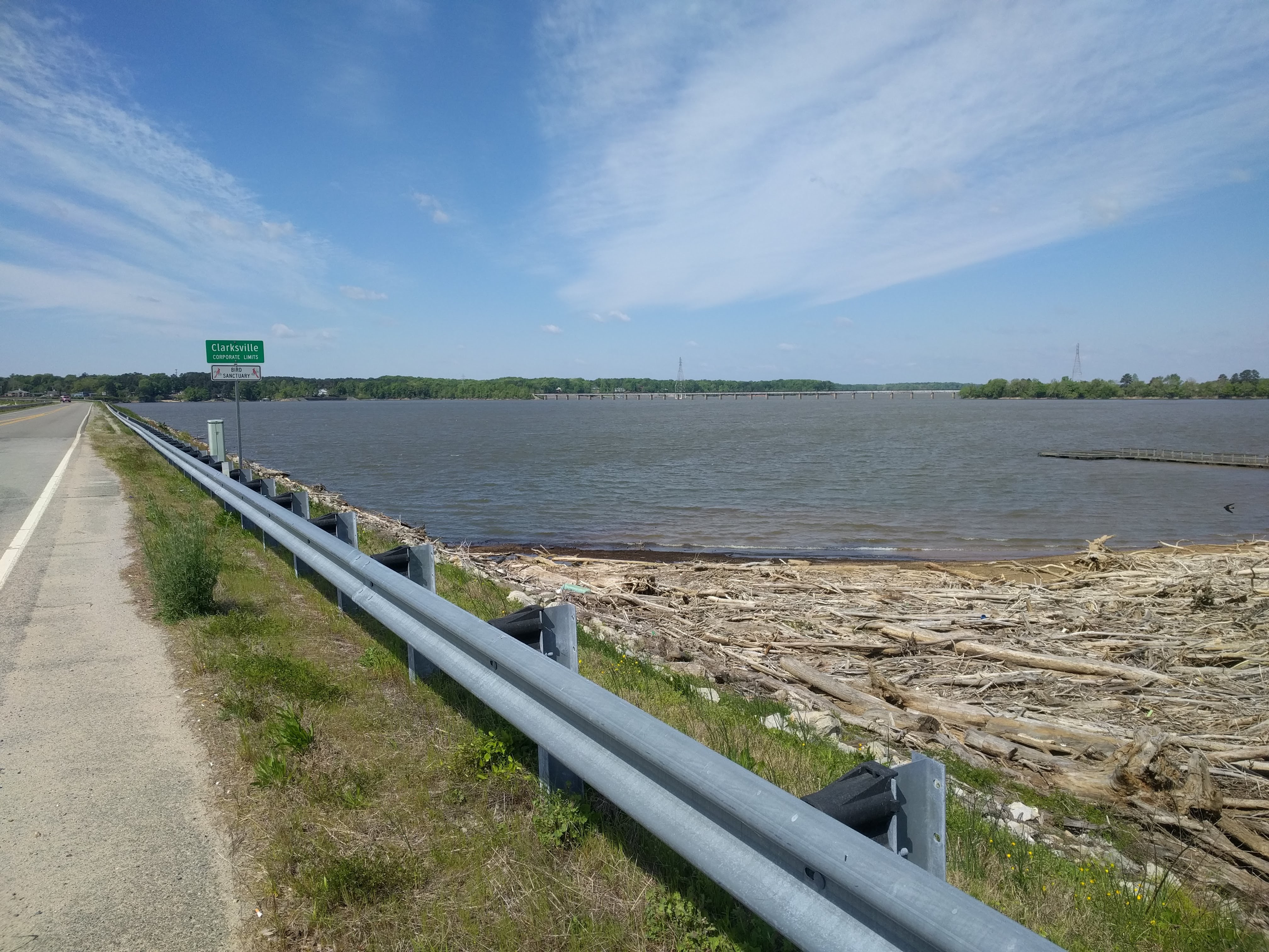
The Quality Inn at South Hill, where I-85 meets US-58 outperformed the one in Franklin. Everything worked, and I had a ground floor unit, so no need to schlep things upstairs. The room was tight, so I did not hear the traffic.
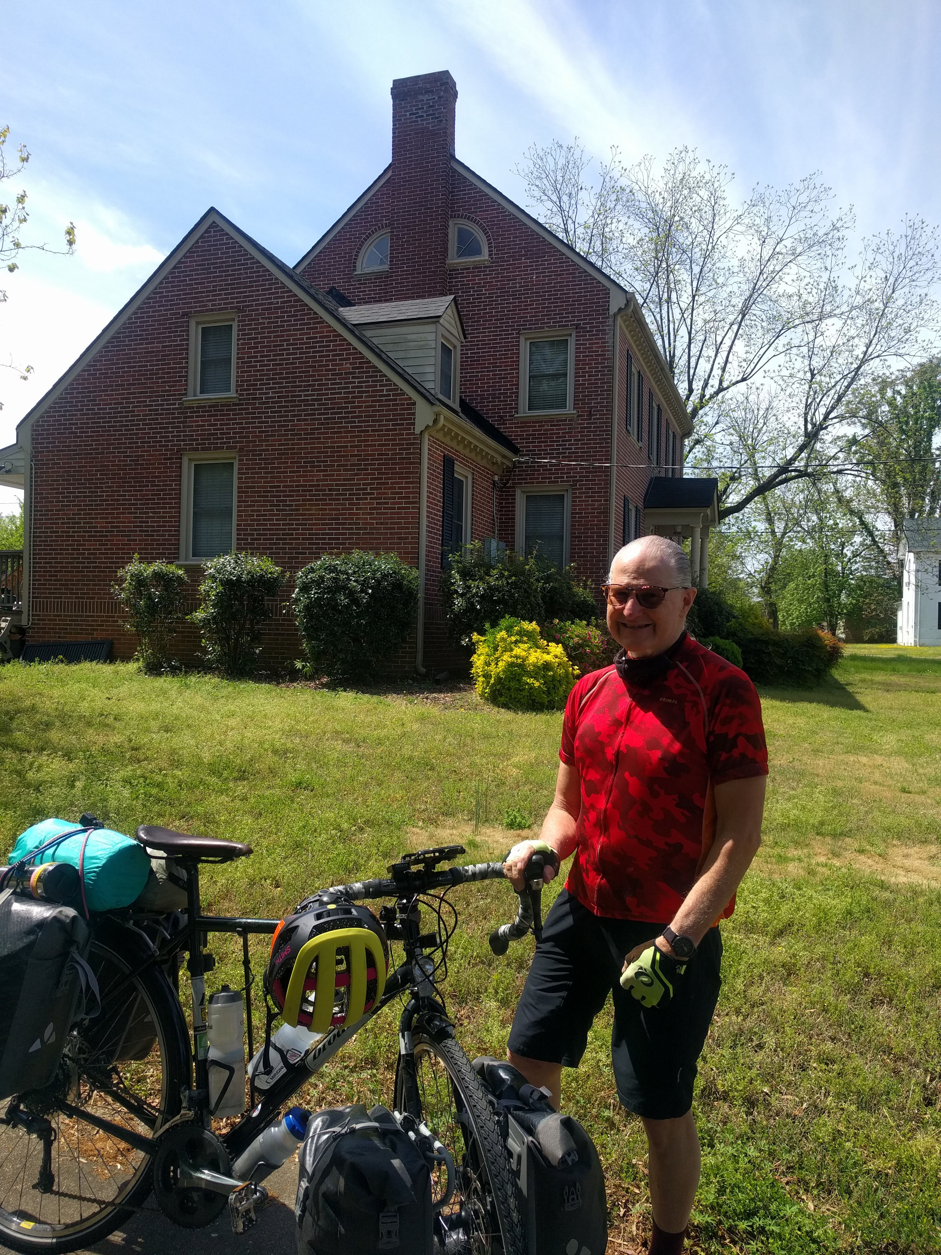
Wednesday was going to be the coolest day yet. My chainring cable (the one the controls the gears up front) seemed stretched, and it squeaked as it moved. Most wrenches (bike mechanics) don’t think to grease all the moving parts, but I do. So, before setting out, I tightened the cable and oiled the places where it ran through guides. Oiling the chain and gears also helped makes the action smooth and pleasant as I set out on US-58.
To my surprise there were no rumble strips today. Between South Hill and Clarksville, I passed more prisons and regional jails than hotels, stores, or gas stations. The one town, Boydton, seemed a ghost town. My guess is that the “improvements” (by-passes) to the highways have killed the small towns that depended on travellers. One advantage of bicycle travel is that I don’t get there any faster on a by-pass, so I always follow the “Business US-58” signs and visit each town and city along the old highway. After all, this is a historic road trip for me, and I want to see these towns.
 There was only one retail location on the road today, the “Triangle Grocery.” It is really a convenience store behind the Exxon pumps, and offers fried chicken and sandwiches to the construction workers on their lunch break. I had their fried chicken for lunch and bought a can of Hormel chili to heat up for supper. I was seriously missing fresh green things.
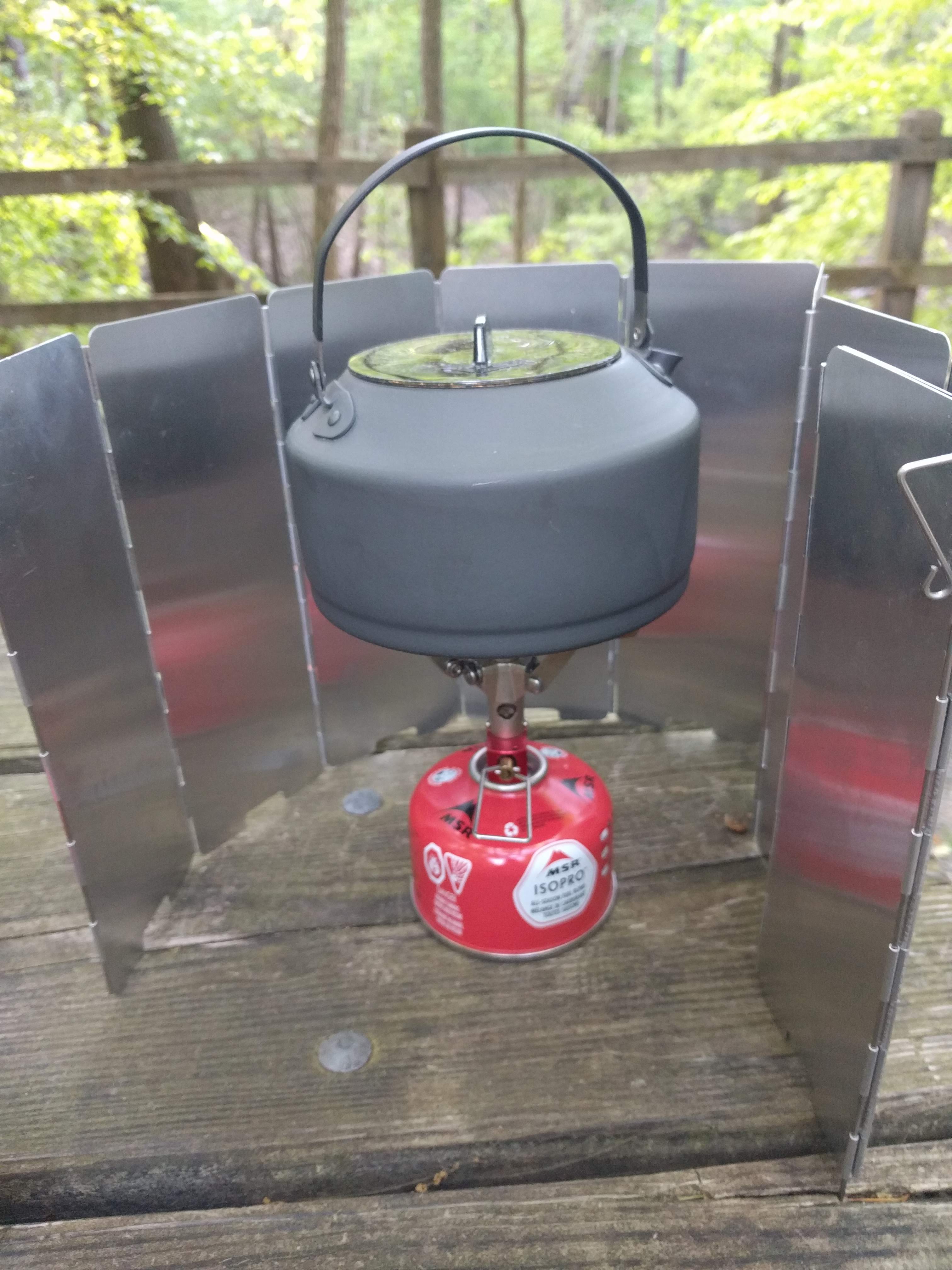
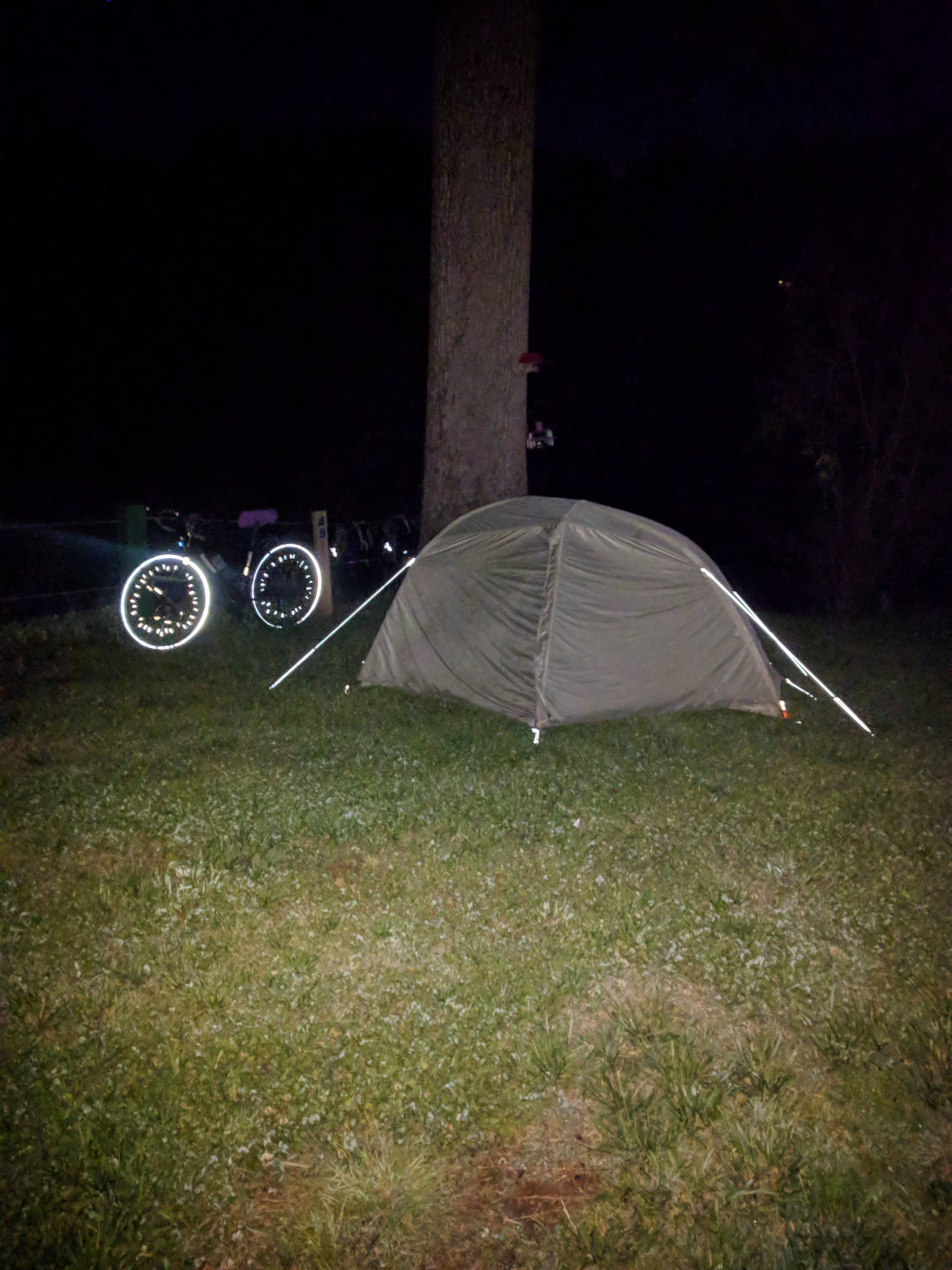
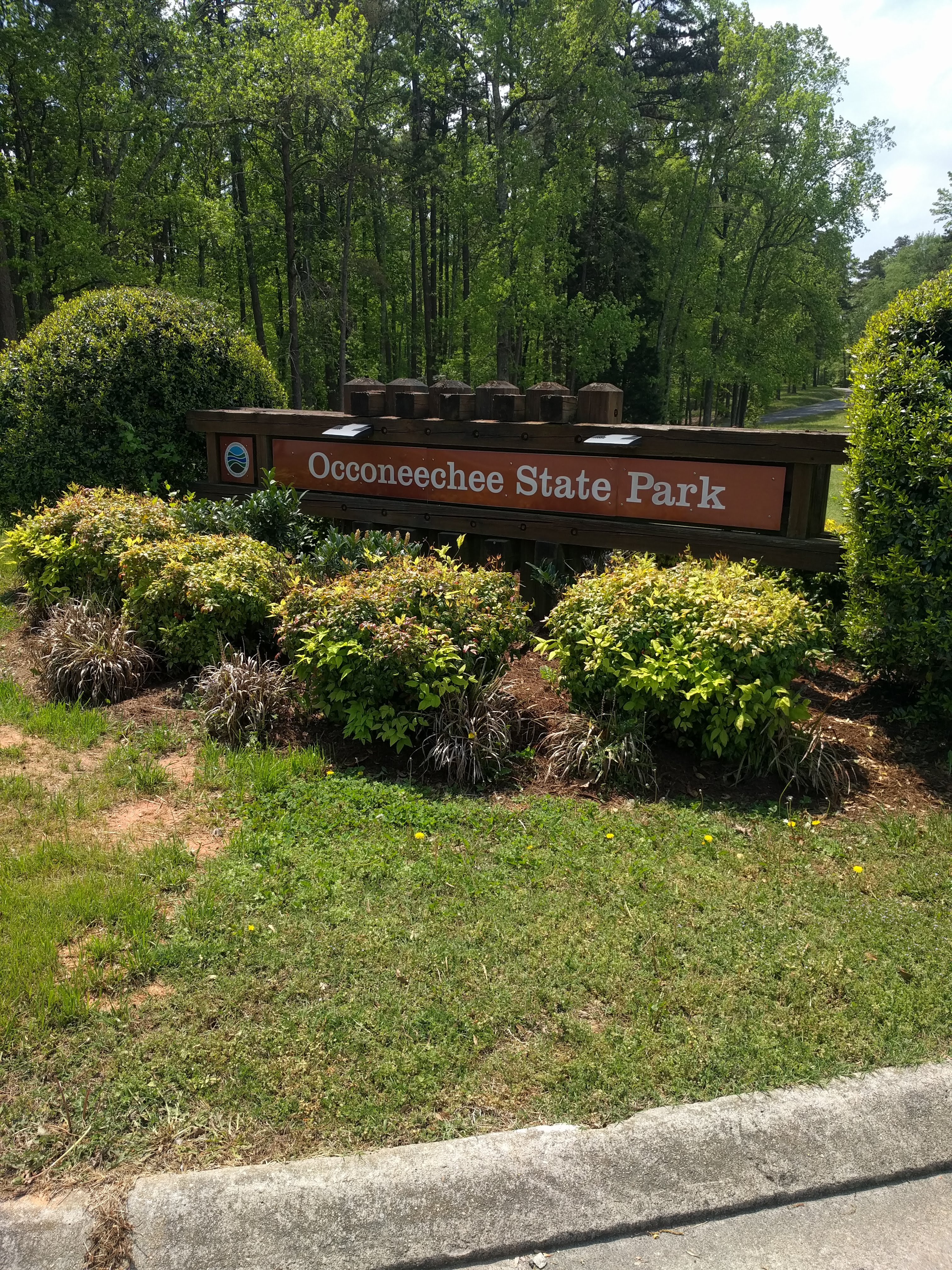 It was only a three-hour ride to the Oconeechee State Park, so I had my tent pitched by 15:00, and the kettle on by 15:30.
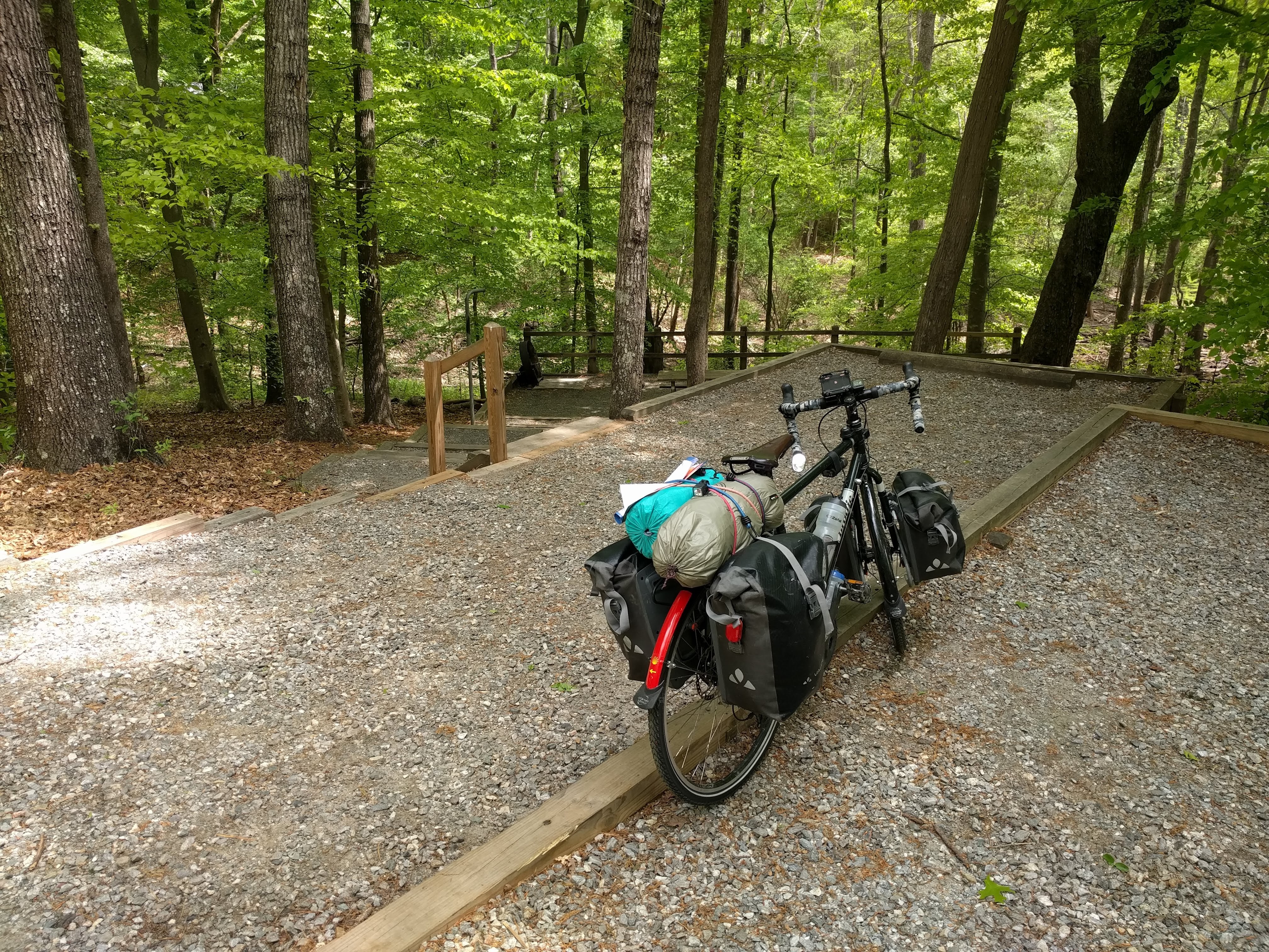 The tent sites in this beautiful park are split level, so one must carry everything down and up if one has parked a motor vehicle. I chose to push my bike through the leaves and brush down to the camp site level, so I did not have to go up and down for things.
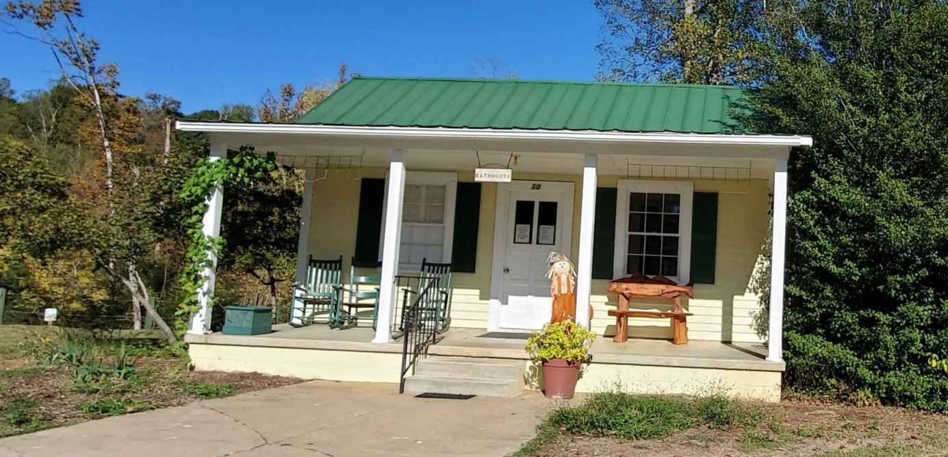
 While I was having my coffee, the camp hosts came by. Among other things, they told me that generators are forbidden in all Virginia State Parks, so the silence I had enjoyed in Chippokes and First Landing was not a coincidence. At Oconeechee, the RV’s had a different ring away from the C-campground, where I was. This place features standard tent sites with a picnic table, fire ring, no water and no electricity. The bath house, however, has hot and cold water, a slop sink, and outlets. Except for the freezing temperatures (and high winds that night), Oconeechee was an ideal camping location.
I turned in early, so as to be tucked in when it got dark. I did not have the next day figured out, because the Warmshowers host I was hoping to meet had still not answered me. It had been a pleasant day and a pleasant ride. I slept well.
Thursday the 22nd, it was still freezing when I awoke before dawn with the noise of the traffic on US-58. The wind had blown leaves inside the fly, to rest on the top of the tent body. I stayed in until 0730. One water bottle had frozen. I took my time making breakfast and letting things warm up. By 10:00, I was breaking camp and heading out.
 The headwinds were still cold, though not as strong as last night. The highway looked much the same as the day before. At 13:30, I stopped before South Boston and booked a room at the America’s Best Value Inn on the other side of town. While there, I plotted out next week (to the 29th of April), which would take me to the next Warmshowers host. No parks until May Day (Grayson Highlands). I also posted a public trip on Couchsurfing, but hosts are thin on the ground, and I was not expecting much. I booked two nights in Danville, because I could see a very wet front coming through on Saturday. I also read the translation that I was revising. This was not a holiday for me.
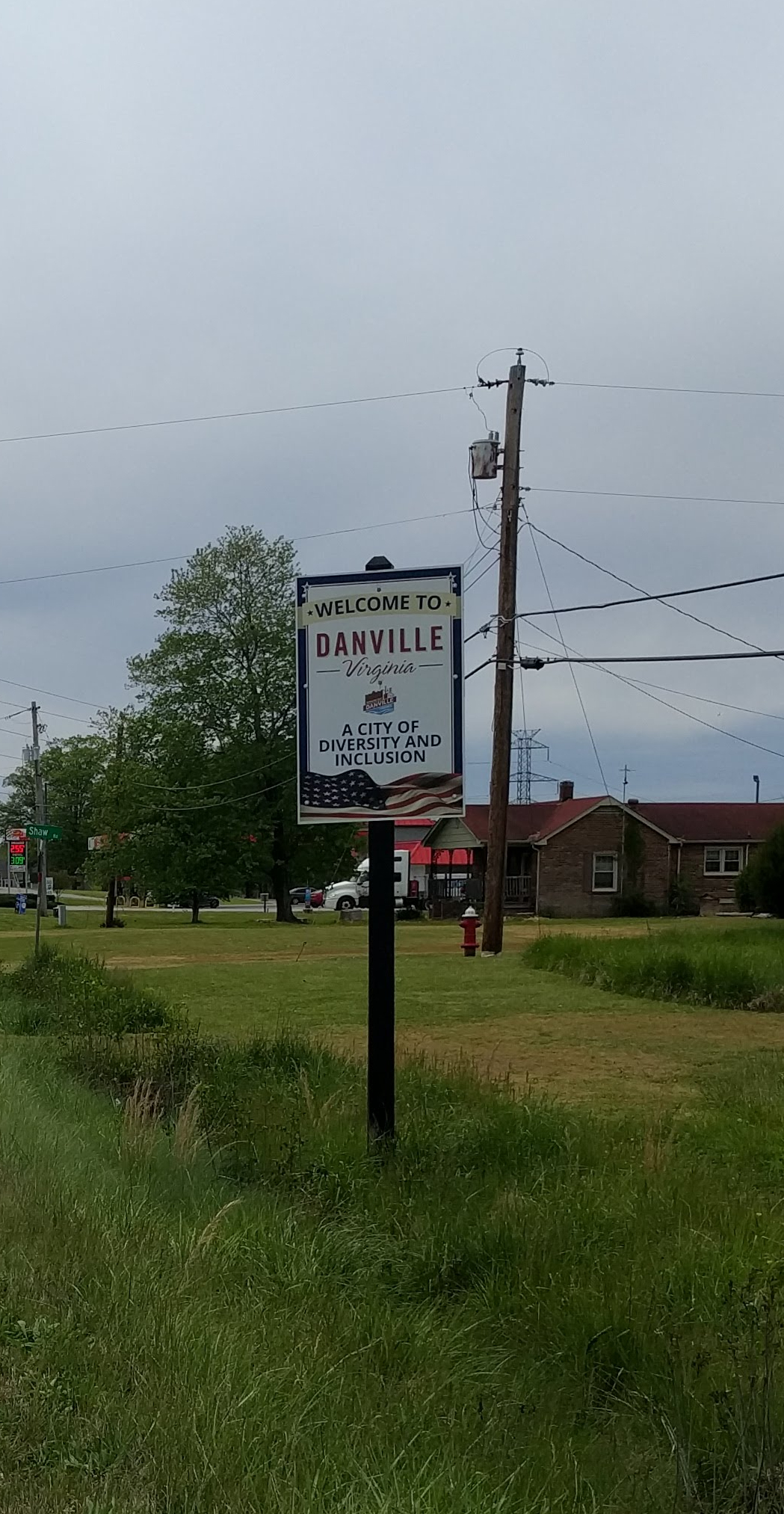
Friday the 23rd was too cold for short sleeves, but okay for a long-sleeved jersey. The bright sunshine lifted my spirits, as the rolling countryside started rolling steeper and longer on each undulation. I expected this; the terrain looks just like US-250 east of Charlottesville, and, indeed, Danville is due south of Charlottesville.
 When I stopped at midday for some trail mix and orange juice, the sky darkened, and the temperature dropped. I wondered if the front were coming early.
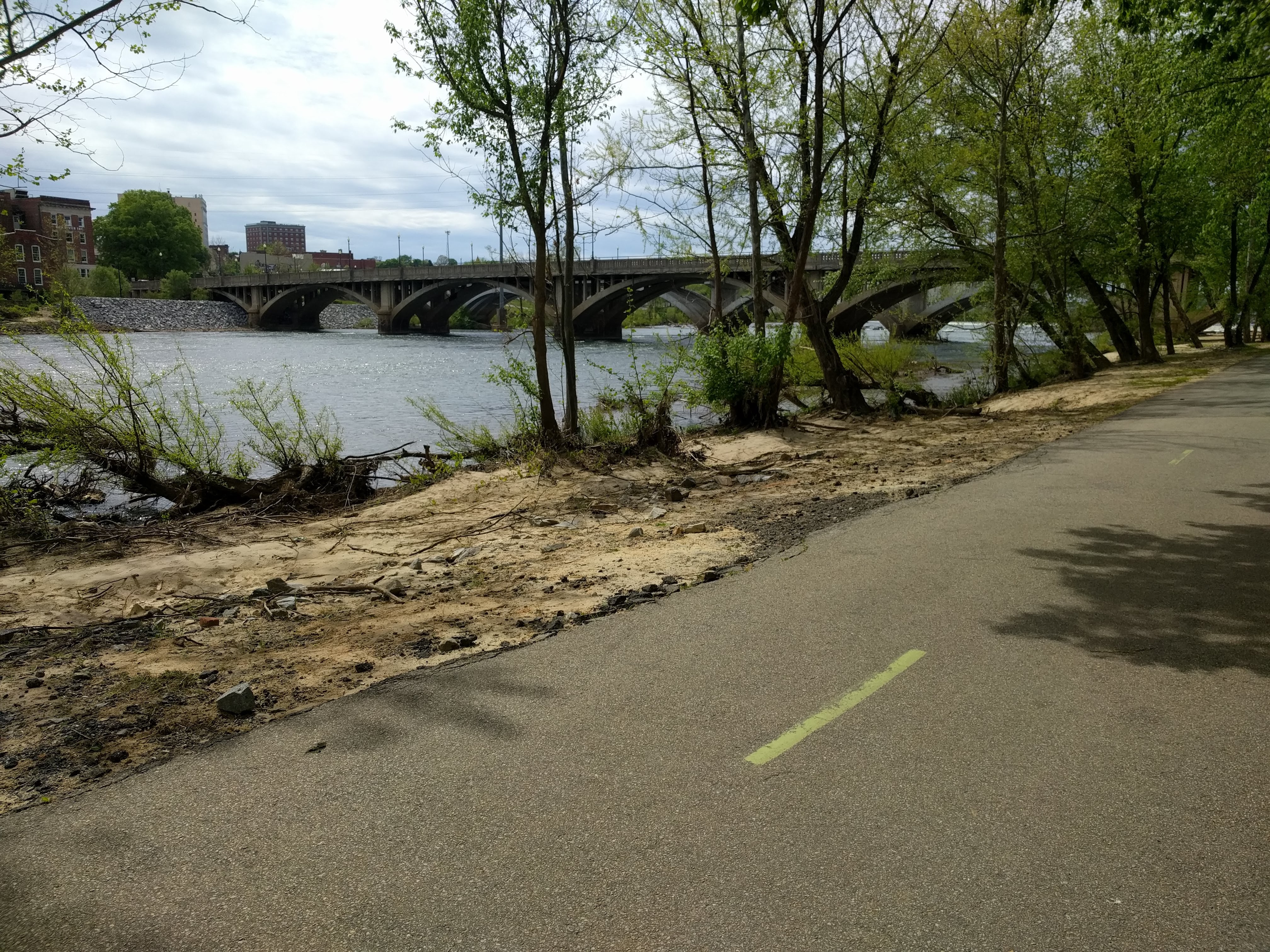
The hills steepened even more, so that I was still plodding uphill at 8-9 km/hr, but blasting downhill at up to 55 km/hr. I checked into the Super 8 by Wyndham at 15:00, having enjoyed a pleasant last few kilometres along the Dan River on the city’s river trail.
 Supper at La Nostra Cucina near the motel was a delight. The calamari fritti were done just right. The seafood pasta was unremarkable, but it was seafood.
The view from my window was uninspiring. Why do we have more auto dealers, garages, and car title loans in each square mile than anything else? The nearest laundromat was 3.6 km away, the nearest grocery store, the same.
Saturday, I slept in until 08:30. Another cool day, but not freezing. The rain held off until I could ride to the laundromat, stopping at the Kwik Shop convenience store on the way back. It was not the salad that I had hoped to buy, but I did have green things (canned peas) mixed with canned corn. I worked on the next Hilda short story while the rain splattered gently on the window.
Sunday, the 25th, was the first sunny day of a forecast warm week. I was hoping to find more camping as I rode closer to the Blue Ridge. The nights would be colder, however, as the elevation increased.
This was the first day that I have used the small chainring to climb since riding in the Pyrenées in 2016. A digression for those who need it. My bicycle has a thirty-speed drivetrain, also known as a 3 x 10. There are three chainrings between the pedals and ten gears on the rear axle. The smallest chain ring and the largest gear together create the most torque for the steepest hills. When climbing hills, especially with a 30-kg load, one must balance the need to push on the pedals easily with the need to maintain enough speed to stay upright. At 5 km/hr, I worry about falling over, and I start to zigzag to keep my balance.
I knew that I would need the lower gears on this ride, so I expected to drop to the small chainring. I was pleased that I did not need the larger gear back aft – yet. So, today was good practice for the gear shifting I would need to do in the mountains.
The contrast between the traffic on Friday and Sunday surprised me. Same highway, but whilst I saw only ten sedans all day Friday, today I saw only three large trucks, but hundreds of sedans. Did the truckers all park their rigs and take their families to church?
Accommodations and food are scarce between Danville and Martinsville, but I did find lunch at La Nayarita Mexican restaurant in Axton. A taco salad gave me something green and crunchy at last.
The hills did not let up just because I rode into a city. From downtown Martinsville to the river where I would spend the night, I clocked 55 km/hr for two kilometres.
 The Indian Heritage RV Park has a half-dozen lovely tent sites, and the one down by the river was available. The bath house featured a comfortable lounge and a laundry room in addition to the private showers and toilets. I was able to recharge all my electronics while setting up a WiFi hot spot on my phone.
After pitching camp, I rode to the Food Lion supermarket nearby. This was a reconnaissance, because Food Lion seems to be the only grocery store on the map in this part of Virginia. I walked the aisles carefully, figuring out not only supper for that night, but also what I could and could not find at future stops.
Dinner was late, but it featured a whole bag of salad mix with tuna and a gorgeous tomato.
 The tent was already wet outside with dew when I crawled in. The wind had died down, so the cold air was tolerable.
I had been on the road for nine days. In the coming week, I hoped to reach the Cumberland Gap. The farmland and the flatlands were behind me. Ahead lay the Blue Ridge, the Appalachian Mountains, and the Wilderness Road.
Come back in two weeks to see if I made it and to enjoy some stunning scenery.
Next week, Hilda will have another adventure on my author blog. Enjoy!
Smooth roads and tailwinds,
JT

JT-this is Bernie Ernest. My friend Krista & I were enjoying a leisurely ride down the Virginia Creeper trail this past Sunday, May 2, when you came to our rescue replacing her front tire tube when she had a flat. We greatly appreciated your generosity & willingness to help us. I hope you are doing well on the road. Keep your bike upright & rolling down the trail my friend!!
LikeLike